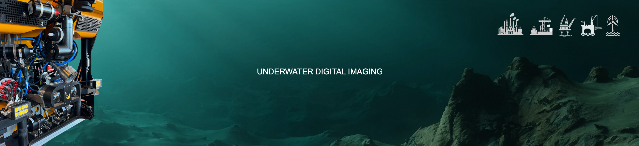
UNDERWATER 3D IMAGING – PHOTOGRAMMETRY
Advanced Inspection, integrity data and hosted 3D models for Ports, Offshore Wind and Offshore Oil & Gas
DroneQ Robotics provides underwater 3D imaging as part of Advanced Unmanned Robotics Services (AURS): global ultra-high resolution inspection, survey, 3D imaging and NDT, delivered underwater, on water and from the air, for customers in Ports, Offshore Oil & Gas and Offshore Wind. Underwater operations are conducted under the IMCA-compliant DroneQ Robotics Subsea Inspection Operations Manual, which is routinely updated to reflect the new techniques, technologies, and operational insights.
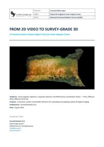
Download the whitepaper 2D Video to 3D Survey ->

25+
Years experience
3
Robotics domains
360o
Asset intelligence
DroneQ RapidScan
Advanced OCROV Class I + UVision Stereo Imaging System
Shallow water, rapid-mobilization inspection for Ports, Industry, coastal water assets and Offshore assets
- 1 mm/m accuracy
- 24 – 48 hours mobilization
- Global-shutter stereo, live point cloud
- Defect and anomaly register
- DroneQ 3D Cloud

DroneQ DeepScan
Advanced OCROV Class II + Voyis Discovery Stereo Imaging System
Survey-grade Offshore 3D visual inspection of Offshore Wind foundations, platform jackets, cables and pipelines
- 0.1mm/m accuracy, independently certified
- Deep Vision Optics & VSLAM technology
- Dimensional & Marine Growth Reporting
- DroneQ 3D Cloud

DroneQ IntegrityScan
DeepScan + onboard UT / CP / FMD probes
Combined 3D survey en quantative NDT in one single mobilization, for integrity-critical assets
- UT wall thickness / corrosion map
- CP potentieel survey
- FMD + consolidated integrity report
- Advanced Underwater Cleaning
- DroneQ 3D Cloud

DroneQ DigitalTwin
Any tier, on DroneQ 3D Cloud
Baseline-and-repeat program for a living, AI-monitored digital twin for all types of assets
- Year-over-year change detection
- AI-annotated anomalies (type/severity)
- 3D Tiles / WebGL streaming access
- DroneQ 3D Cloud
DroneQ FullStack
ROV + USV + UAS combined
Complete topside-to-seabed asset integrity program in one mobilization
- Combined underwater + surface + aerial data
-
One integrated report
-
One Single Point of Contact
DroneQ 3D Cloud
Hosted 3D models
Detailed Measurements including dimensions and volumes, Construction Level measurements, Depth Scan and Elevation Maps. AI-driven Annotation with Annotation with Anomaly Type & Severity rating. Dense Point Clouds (LAS/LAZ, PLY, E57), meshes (OBJ/FBX/GLB), GeoTIFF orthomosaics and DEMs, Gaussian Splats, plus 3D Tiles/WebGL streaming for browser-based review
Intested in our Underwater Inspection Services?
Contact us
